Economic Development Newsletter
February 2025
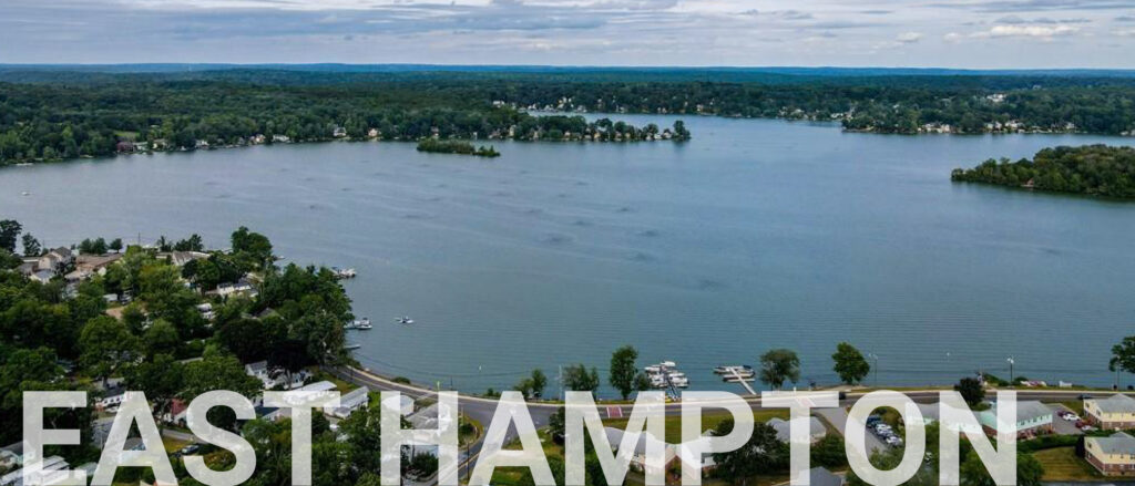
EAST HAMPTON, CONNECTICUT
Incorporated in 1767, East Hampton spans 36 square miles and encompasses the communities of Cobalt, Middle Haddam, and Lake Pocotopaug. Bordered by the Middlesex County towns of Portland to the west and Haddam and East Haddam to the south, the town boasts a rich history of shipbuilding and manufacturing, driven by one of the state’s oldest iron forges. It earned the nickname “Belltown USA” for producing the largest variety and greatest quantity of bells and bell-related products in the United States.
Today, the town’s rural-suburban character, excellent schools, and recreational options- including Lake Pocotopaug, the Airline Trail, and numerous state parks- make it a desirable place to live, work, and play.
TOWN STATS
General
Current Population: 12,798
Median Age: 41
Median Household Income: $116,163
Economy
Top Industries
1. Government
2. Retail
3. Accommodation and Food Service
4. Construction
5. Health Care and Social Assistance
Housing
Median Home Value: $313,500
Median Rent: $1,362
Housing Units: 6,318
From 2024 Town Profiles courtesy of AdvanceCT and CT Data Collaborative.
Economic Development Highlights
With a pending application for expansion, the 201 West High Street development offers flexible space options for new and growing businesses in town and is currently home to a microbrewery, a screen printing and embroidery business, and a physical therapy and sports medicine provider.
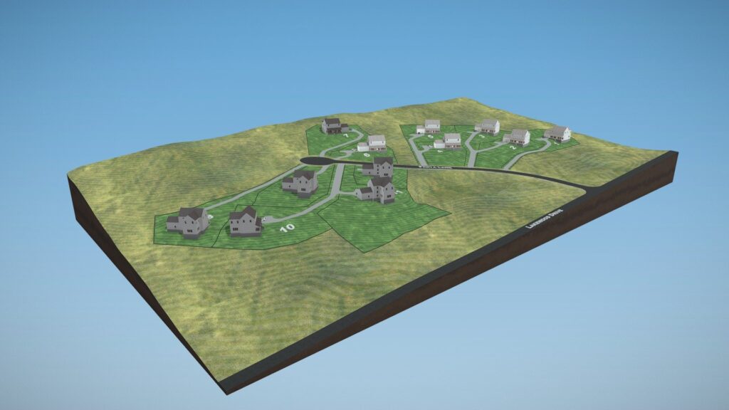
Lake Overlook Estates, a conservation subdivision, located on the north side of Lake Pocotopaug, is currently under construction. It will provide 12 new single-family homes to the town’s housing options, with another eight planned for phase two.
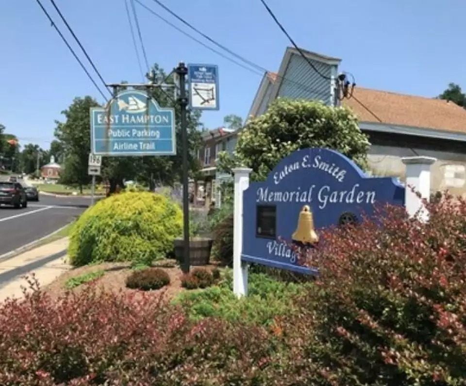
With funding from the Connecticut Small Town Economic Assistance Program (STEAP) and the Community Connectivity Grant Program, the Village Center district will undergo pedestrian safety and streetscaping improvements this summer. These improvements include the installation of warning signals, permeable parking surfaces, additional handicap-accessible areas, and tree replacements.

Juliet Hodge, CAZEO
Planning and Zoning Official, Wetlands and Zoning Enforcement Official
Juliet is a planning and development professional with extensive experience in community development, urban design, and economic development. Before joining East Hampton in 2024, she served in planning, economic development, and marketing roles for the Southeastern Council of Governments, the towns of Salem, North Stonington, and Ledyard, and the Southeastern Connecticut Enterprise Region (SeCTer), where she was instrumental in drafting the nationally recognized 2017 Comprehensive Economic Development Strategy (CEDS). Throughout her career, Juliet has prioritized preserving the natural, historic, and agricultural resources of the towns she has served. In addition to her professional roles, she has been engaged in her community through various boards and committees, serving on the Connecticut Economic Development Association (CEDAS) Board and the Economic Development Committee of the Greater Norwich Chamber of Commerce. Notably, she chaired the City of Groton's Economic Development Commission during its formation, contributing to the effective establishment of economic strategies within the city.
As East Hampton’s Planning and Zoning Official and Wetlands and Zoning Enforcement Official, she has begun updating the regulations to ensure consistency with State Statutes. Her goal is to create clear and enforceable regulations that protect residents' interests while facilitating investment in the town.
Edgewater Hill
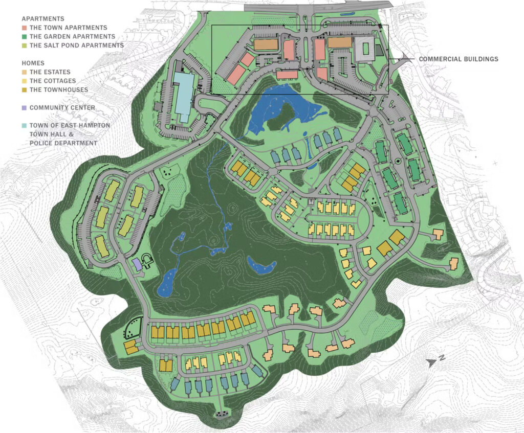
On Route 66, Edgewater Hill is a unique 80-acre New Urbanist mixed-use development project encompassing municipal, commercial, and residential spaces. It was created by Dream Developers, Inc. owned by Lisa and Steve Motto, who have lived in town for 24 years. Advocating for smart development in East Hampton, which adds value and preserves the town’s culture, Edgewater Hill complements the 20,000-square-foot Town Hall, completed in 2020 and designed by Amenta Emma Architects, built by Newfield Construction. The market-rate apartments and single-family homes cater to residents at every stage of life – from young families to empty nesters to independent seniors - seeking a small-town atmosphere with easy access to recreational and social amenities. Currently planning a second housing phase, the first phase included 100 apartments and 21 single-family homes, ranging from 700 to 3,200 square feet, all fully occupied, along with flexible office, commercial, and retail spaces.
Future plans entail the build-out of a restaurant space in the southwest corner of the property to fulfill the vision of a “market square,” complete with a café, retailers, and a tavern-style restaurant, creating a family-friendly, walkable, and vibrant neighborhood.
The Plan of Conservation and Development Process
The Plan of Conservation and Development (POCD) process involves a municipality gathering data on its current state, identifying community needs, setting goals for the future, and outlining strategies to achieve those goals in various aspects, such as economic development, environmental protection, housing, and infrastructure. This process essentially creates a blueprint for the town's future development while considering conservation efforts, and is reviewed and updated every 10 years to reflect changing conditions and community priorities. There are key steps along the process, including:
- Data Gathering and Analysis: demographic studies, analysis of land use patterns, zoning regulations, and existing infrastructure, assessment of wetlands, waterways, and open spaces, and a review of economic data, including employment trends and business activity.
- Community Engagement: public meetings, workshops, and surveys gather input from residents, businesses, and community groups.
- Visioning and Goal Setting: developing a shared vision and establishing clear goals for economic development, housing, environmental protection, transportation, and other relevant areas.
- Policy Development: creation of policies to guide decisions and achieve established goals; identification of strategies and action items.
- Map Development: illustrate future land use designations including residential, commercial, open space and conservation zones.
- Drafting: compile into a comprehensive document.
- Review and Adoption: present draft to boards and commissions; hold public hearings; finalize and formally adopt.
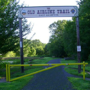
Air Line State Park Trail
Stretching over 60 miles across four counties in eastern Connecticut, from Thompson to Portland, the Air Line State Park Trail attracts walkers, hikers, bikers, horseback riders, rollerbladers, skaters, and others from throughout the region. The route once provided rapid transit between New York and Boston, taking its name from the imaginary line between the two cities along the shortest possible path through the “air.”
Part of the developing East Coast Greenway, a 3,000-mile route from Maine to Florida, in East Hampton, the trail winds through the Village Center District - the only downtown area on the trail that features parking and a bike shop - and crosses the Rapallo Viaduct, a buried railroad trestle built in 1873.
The Town of East Hampton recognizes the trail's importance as an economic driver. Through a collaborative plan to connect the trail to the Farmington Canal Heritage Trail, funding is being secured to close the gap along the East Hampton route to the Portland town line, behind the Public Works compound, and enhance the pedestrian and bike pathways, including boardwalks and wayfinding signage. A decision on the final design is imminent, and construction is expected to begin in 2025. The CT DEEP published a trail map featuring the East Hampton segment – grab a copy before you head out to the Air Line Trail.
